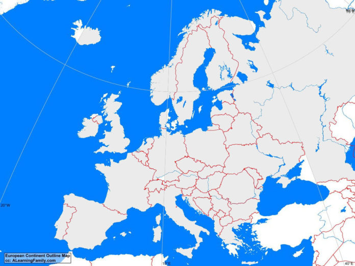
The Europe outline map is provided. The outline map includes a list of neighboring countries, capital cities, major landforms and bodies of water of Europe.
A student may use the blank map to practice locating these political and physical features.
Features of the Europe Outline Map
East European Countries and Capital Cities
- Belarus (Minsk)
- Bulgaria (Sofia)
- Czech Republic (Prague)
- Hungary (Budapest)
- Moldova (Chisinau)
- Poland (Warsaw)
- Romania (Bucharest)
- Slovakia (Bratislava)
- Ukraine (Kiev)
North European Countries and Capital Cities
- Denmark (Copenhagen)
- Estonia (Talinn)
- Finland (Helsinki)
- Iceland (Reykjavik)
- Ireland (Dublin)
- Latvia (Riga)
- Lithuania (Vilnius)
- Norway (Oslo)
- Sweden (Stockholm)
- United Kingdom (London)
South European Countries and Capital Cities
- Albania (Tirana)
- Bosnia and Herzegovina (Sarajevo)
- Croatia (Zagreb)
- Greece (Athens)
- Italy (Rome)
- Macedonia (Skopje)
- Portugal (Lisbon)
- Serbia (Podgorica)
- Slovenia (Ljubljana)
- Spain (Madrid)
West European Countries and Capital Cities
- Austria (Vienna)
- Belgium (Brussels)
- France (Paris)
- Germany (Berlin)
- Luxembourg (Luxembourg)
- Netherlands (Amsterdam)
- Switzerland (Bern)
Bodies of Water
- Atlantic Ocean
- Baltic Sea
- Bay of Biscay
- Black Sea
- Mediterranean Sea
- North Sea
- Norwegian Sea
Major Landforms
- Alps
- Appenines
- Carpathians
- Central Massif
- Central Uplands
- Dinaric Alps
- Grampian Mountains
- Great European Plain
- Iceland Plateau
- Kjolen Mountains
- Pyrennes
- Spanish Plateau

