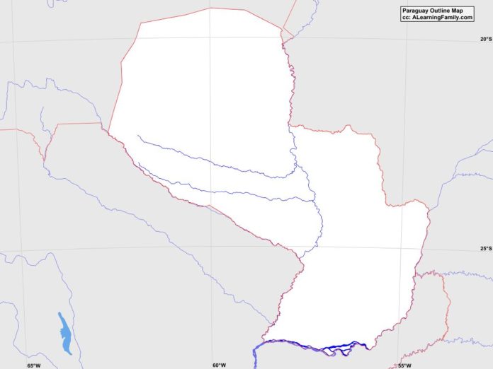
The Paraguay outline map is provided. The outline map includes a list of neighboring countries, major cities, major landforms and bodies of water of Paraguay.
A student may use the blank map to practice locating these political and physical features.
Features of the Paraguay Outline Map
Neighboring Countries
- Argentina
- Bolivia
- Brazil
Major Cities
- Asuncion (capital)
- Avolas
- Caaguazu
- Capiata
- Ciudad del Este
- Concepcion
- Curuguaty
- Encarnacion
- Horqueta
- Ita
- Limpio
- Paraguari
- Pedro Juan Caballero
- Pilar
- Piribebuy
- Presidente Franco
- San Estanislao
- San Ignacio
- San Juan Bautista
- Santa Rita
- Villarrica
Major Landforms
- Central Lowland
- Cerro Pero
- Chaco Boreal
- Cordillera de Caaguazu
- Gran Chaco
- Lindo River
- Neembucu Plain
- Paraguay River
- Parana Plateau
- Parana River
- Serra de Amambai
- Verde River

