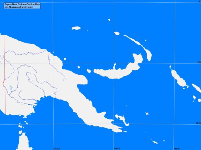
The Papua New Guinea outline map is provided. The outline map includes a list of neighboring countries, major cities, major landforms and bodies of water of Papua New Guinea.
A student may use the blank map to practice locating these political and physical features.
Features of the Papua New Guinea Outline Map
Neighboring Countries
- Australia
- Indonesia
Major Cities
- Port Moresby (capital)
- Aletau
- Arawa
- Bulolo
- Daru
- Goroka
- Kavieng
- Kimbo
- Klunga
- Kokopo
- Lae
- Madang
- Mendi
- Mount Hagen
- Popondetta
- Tari
- Vanimo
- Wau
- Wewak
Bodies of Water
- Bismarck Sea
- Coral Sea
- Gulf of Papua
- Pacific Ocean
- Solomon Sea
- Torres Strait
Major Landforms
- Aramia River
- Bougainville.
- Central Range
- D’Entrecasteaux Islands
- Eastern Highlands
- Finisterre Range
- Fly River
- Louislade Archipelago
- Manus Island
- New Britain
- New Ireland
- Owen Stanley Range
- Ramu River
- Sepik Ariver
- Solomon Islands
- Southern Highlands

