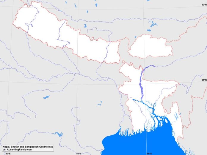
The Bangladesh, Bhutan and Nepal outline map is provided. The outline map includes a list of neighboring countries, major cities, major landforms and bodies of water of Bangladesh, Bhutan and Nepal.
A student may use the blank map to practice locating these political and physical features.
Features of the Bangladesh, Bhutan and Nepal Outline Map
Neighboring Countries
- Burma
- China
- India
Major Cities
- Dhaka (capital)
- Thimphu (capital)
- Kathmandu (capital)
- Alamdanga
- Bharatpur
- Biratnagar
- Birganj
- Bogora
- Butwal
- Chattagam
- Chhukha
- Dhanghadi
- Dharan
- Gulariya
- Hetauda
- Jaipu Hat
- Janakpur
- Khagrachari
- Khulna
- Koks Bazar
- Komilla
- Mahendranagar
- Maimansingh
- Mechinagar
- Mongar
- Narsingdi
- Nepalganj
- Pokhara
- Punakha
- Rajshahi
- Ranapur
- Sarpang
- Silhat
Bodies of Water
- Bay of Bengal
Major Landforms
- Brahmaputra River
- Chittagong Hills
- Ganges Delta
- Ganges River
- Gangkhar Puesum
- Great Himalayas
- Himalayas
- Kathmandu Valley
- Khasi Hills
- Mahabarat Range
- Mount Everest
- Saka Haphong

