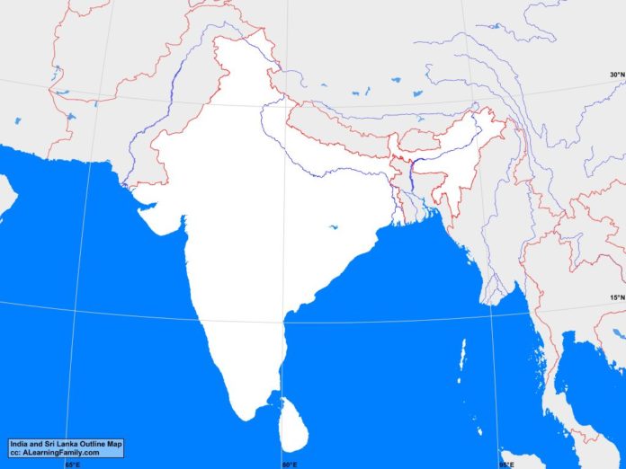
The India and Sri Lanka outline map is provided. The outline map includes a list of neighboring countries, major cities, major landforms and bodies of water of India and Sri Lanka.
A student may use the blank map to practice locating these political and physical features.
Features of the India and Sri Lanka Outline Map
Neighboring Countries
- Afghanistan
- Bangladesh
- Bhutan
- China
- Laos
- Malaysia
- Myanmar
- Nepal
- Pakistan
- Thailand
- Vietnam
Major Cities
- Delhi (capital)
- Colombo (capital)
- Agra
- Ahmadabad
- Allahabad
- Amritsar
- Aurangabad
- Bangalore
- Bhopal
- Bombay
- Calcutta
- Hyderabad
- Indore
- Jabalpur
- Jaipur
- Kandy
- Kanpur
- Lakhnau
- Ludhiana
- Madras
- Nagpur
- Nashik
- Negombo
- Patna
- Pimpri
- Pune
- Rajkot
- Surat
- Trincomalee
- Vadodara
- Varanasi
- Visakhapatnam
Bodies of Water
- Andaman Sea
- Arabian Sea
- Bay of Bengal
Major Landforms
- Andaman Islands
- Aravali Range
- Brahmaputra River
- Central Highlands
- Chota Nagpur
- Deccan Plateau
- Eastern Ghats
- Ganges River
- Himalayan Mountains
- Indo-Gangetic Plain
- Kangchenlunga
- Pidurutalagala
- Thar Desert
- Vindhya Range
- Western Ghats

