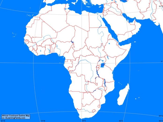
The Africa outline map is provided. The outline map includes a list of countries, major landforms and bodies of water of Africa.
A student may use the blank outline map to practice locating these political and physical features.
Features of the Africa Outline Map
Central African Countries
- Angola
- Cameroon
- Central African Republic
- Chad
- Democratic Republic of the Congo
- Equatorial Guinea
- Gabon
- Republic of the Congo
- Sao Tome and Principe
East African Countries
- Burundi
- Djibouti
- Eritrea
- Ethiopia
- Kenya
- Madagascar
- Malawi
- Mozambique
- Rwanda
- Somalia
- Tanzania
- Uganda
- Zambia
- Zimbabwe
North African Countries
- Algeria
- Egypt
- Libya
- Morocco
- Sudan
- Tunisia
- Western Sahara
Southern African Countries
- Botswana
- Lesotho
- Namibia
- South Africa
- Swaziland
West African Countries
- Benin
- Burkina Faso
- Cape Verde
- Cote d’Ívoire
- Ghana
- Guinea
- Guinea-Bissau
- Liberia
- Mali
- Mauritania
- Niger
- Nigeria
- Senegal
- Sierra Leone
- The Gambia
- Togo
Bodies of Water
- Atlantic Ocean
- Gulf of Guinea
- Indian Ocean
- Red Sea
Major Landforms
- Atlas Mountains
- Chad Basin
- Congo Basin
- Congo River
- Djouf Basin
- Ethiopian Highlands
- Great Escarpment
- Kalahari Desert
- Namib Desert
- Niger River
- Nile River
- Rift Valley
- Sahara Desert
- Sahel
- Sudan Basin
- Zambezi River

