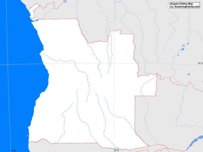
The Angola outline map is provided. The outline map includes a list of neighboring countries, major cities, major landforms and bodies of water of Angola.
A student may use the blank map to practice locating these political and physical features.
Features of the Angola Outline Map
Neighboring Countries
- Democratic Republic of the Congo
- Namibia
- Zambia
Major Cities
- Luanda (capital)
- Benguela
- Boma
- Cabinda
- Caluquembe
- Caxito
- Huambo
- Kuito
- Lobito
- Lubango
- Malanje
- Namibe
- Saurimo
- Soyo
- Sumbe
- Uige
Bodies of Water
- Atlantic Ocean
- Bay of Two Tigers
- Bengo Bay
Major Landforms
- Bie Plateau
- Coastal Lowland
- Cuando River
- Cuango River
- Cuanza River
- Cunene River
- Huila Plateau
- Malanje Plateau
- Mount Moco
- Okavango River
- Serra da Chela
- Serra da Neve
- Zambezi River

