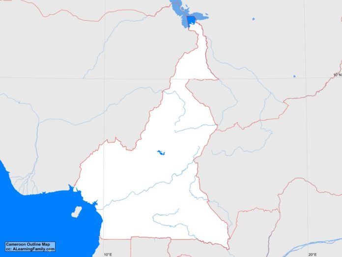
The Cameroon outline map is provided. The outline map includes a list of neighboring countries, major cities, major landforms and bodies of water of Cameroon.
A student may use the blank map to practice locating these political and physical features.
Features of the Cameroon Outline Map
Neighboring Countries
- Central African Republic
- Chad
- Equatorial Guinea
- Gabon
- Nigeria
- Republic of the Congo
Major Cities
- Yaounde (capital
- Bafoussam
- Bamenda
- Bertoua
- Douala
- Edea
- Garoua
- Koumba
- Kousseri
- Loum
- Maroua
- Mbouda
- Mokolo
- Ngaoundere
- Nkongsamba
Bodies of Water
- Atlantic Ocean
- Lake Chad
Major Landforms
- Adamawa Plateau
- Alantika Mountains
- Benue River
- Coastal Plain
- Dja River
- Mambila Mountains
- Mandara Mountains
- Mbam River
- Mount Cameroon
- Sanga River
- South Cameroon Plateau
- Vina River

