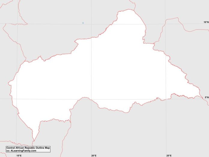
The Central African Republic outline map is provided. The outline map includes a list of neighboring countries, major cities, major landforms and bodies of water of the Central African Republic.
A student may use the blank map to practice locating these political and physical features.
Features of the Central African Republic Outline Map
Neighboring Countries
- Cameroon
- Chad
- Democratic Republic of the Congo
- Republic of the Congo
- Sudan
Major Cities
- Bangui (capital)
- Bambari
- Berberati
- Bossangoa
- Bouar
- Bozoum
- Bria
- Carnot
- Garoua Boulai
- Kaga-Bendoro
- Mbaik
- Noia
- Sibut
Major Landforms
- Bamingui River
- Bongos Mountains
- Central Plains
- Chinko River
- Dubangui Valley
- Karre Mountains
- Kotto River
- Lobaye River
- Mambere River
- Mount Ngaoui
- Ouara River

