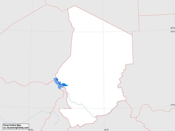
The Chad outline map is provided. The outline map includes a list of neighboring countries, major cities, major landforms and bodies of water of Chad.
A student may use the blank map to practice locating these political and physical features.
Features of the Chad Outline Map
Neighboring Countries
- Cameroon
- Central African Republic
- Libya
- Niger
- Nigeria
- Sudan
Major Cities
- N’Djamena (capital)
- Abeche
- Am Timan
- Bongor
- Kelo
- Koumra
- Mongo
- Moundou
- Pala
- Sahr
Bodies of Water
- Lake Chad
Major Landforms
- Bahr Salamat River
- Batha River
- Chari River
- Djourab Depression
- Emi Koussi
- Ennedi Plateau
- Guera Range
- Kapka Plateau
- Logone River
- Mourdi Depression
- Sahara Desert
- Sahel
- Tbesti Mountains

