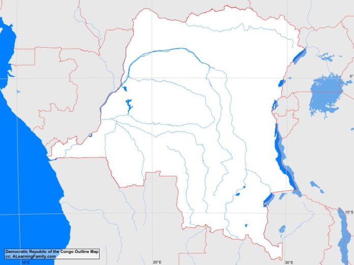
The Democratic Republic of the Congo outline map is provided. The outline map includes a list of neighboring countries, major cities, major landforms and bodies of water of the Democratic Republic of the Congo.
A student may use the blank map to practice locating these political and physical features.
Features of the Democratic Republic of the Congo Outline Map
Neighboring Countries
- Angola
- Burundi
- Central African Republic
- Congo
- Rwanda
- Sudan
- Tanzania
- Uganda
- Zambia
Major Cities
- Kinshasa (capital)
- Bandundu
- Binga
- Boma
- Bukavu
- Bumba
- Bunia
- Butembo
- Gandajika
- Gbadolite
- Gemena
- Goma
- Ilebo
- Kabinda
- Kalemie
- Kalima
- Kamina
- Kasongo
- Kikwit
- Kindu
- Kisangani
- Kolwezi
- Lodja
- Lubumbashi
- Mbanza-Ngungu
- Mbuji-Mayi
- Mweka
- Tshikapa
- Uvira
Bodies of Water
- Atlantic Ocean
- Lake Albert
- Lake Edward
- Lake Kivu
- Lake Mweru
- Lake Tanganyika
Major Landforms
- Congo Basin
- Congo River
- Great Rift Valley
- Kassi River
- Katanga Plateau
- Kwanga-Kwilu Plateau
- Mitumba Mountains
- Mount Stanley
- Rwenzori Mountains

