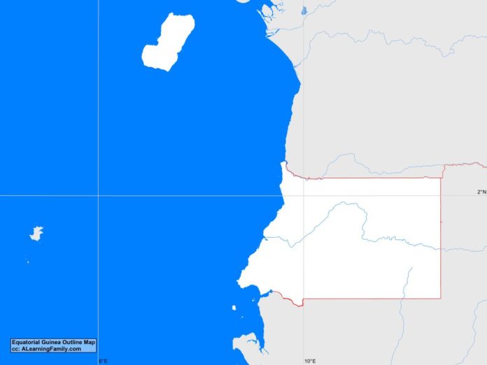
The Equatorial Guinea outline map is provided. The outline map includes a list of neighboring countries, major cities, major landforms and bodies of water of Equatorial Guinea.
A student may use the blank map to practice locating these political and physical features.
Features of the Equatorial Guinea Outline Map
Neighboring Countries
- Cameroon
- Gabon
Major Cities
- Malabo (capital)
- Aconibe
- Acurenam
- Anisoc
- Bata
- Ebebiyin
- Evinayong
- Luba
- Mbini
- Micomeseng
- Mongomo
- Niefang
Bodies of Water
- Atlantic Ocean
- Gulf of Guinea
Major Landforms
- Bioko Island
- Coastal Plains
- Cristal Mountains
- Mbini River
- Mbini River Basin
- Pico Basile

