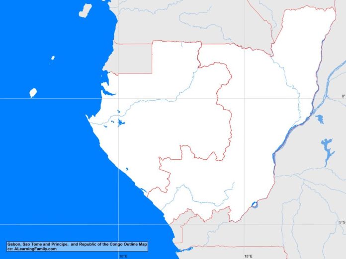
The Gabon, Republic of the Congo, and Sao Tome and Principe outline map is provided. The outline map includes a list of neighboring countries, major cities, major landforms and bodies of water of Gabon, Republic of the Congo, and Sao Tome and Principe.
A student may use the blank map to practice locating these political and physical features.
Features of the Gabon, Republic of the Congo, and Sao Tome and Principe Outline Map
Neighboring Countries
- Cameroon
- Central African Republic
- Democratic Republic of the Congo
- Equatorial Guinea
Major Cities
- Libreville (capital – Gabon)
- Brazzaville (capital – Republic of the Congo)
- Sao Tome (capital – Sao Tome and Principe)
- Bitam
- Gamboma
- Impfondo
- Lambarene
- Kinkala
- Koulamoutou
- Leubomo
- Makokou
- Makoua
- Masoku
- Medingou
- Moanda
- Mossendjo
- Mouila
- Nkayi
- Ouesso
- Owando
- Oyem
- Pointe Noire
- Port-Gentil
- Sibiti
- Tchibanga
Bodies of Water
- Atlantic Ocean
- Gulf of Guinea
Major Landforms
- Bateke Plateau
- Chaillu Range
- Coastal Plain
- Congo River
- Crystal Mountains
- Kouilou River
- Mount Bengoue
- Mount Mabemba
- Ogooue River
- Pico de Sao Tome
- Principe
- Sao Tome

