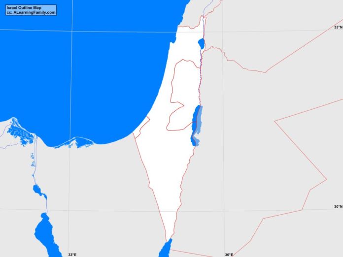
The Israel outline map is provided. The outline map includes a list of neighboring countries, major cities, major landforms and bodies of water of Israel.
A student may use the blank map to practice locating these political and physical features.
Features of the Israel Outline Map
Neighboring Countries
- Egypt
- Jordan
- Lebanon
- Saudi Arabia
- Syria
Major Cities
- Jerusalem (capital)
- al-Halil
- an-Nusayrat
- Ashdod
- Ashqelon
- Be’er Sheva
- Bet Shemesh
- Gaza
- Hadera
- Haifa
- Han Yunis
- Herzeiyya
- Nabius
- Nahariyya
- Nazerat
- Netnya
- Petah Tiqwa
- Rafah
- Ramla
- Tel Aviv
Bodies of Water
- Gulf of Aqaba
- Mediterranean Sea
Major Landforms
- Carmel Range
- Dead Sea
- Eilat Mountains
- Gaza Strip
- Golan Heights
- Ha-Gadol Depression
- Hills of Judae
- Jordan River
- Lake Tiberias
- Mount Meron
- Negev Desert
- Plain of Esdraelon
- Plain of Sharon
- West Bank

