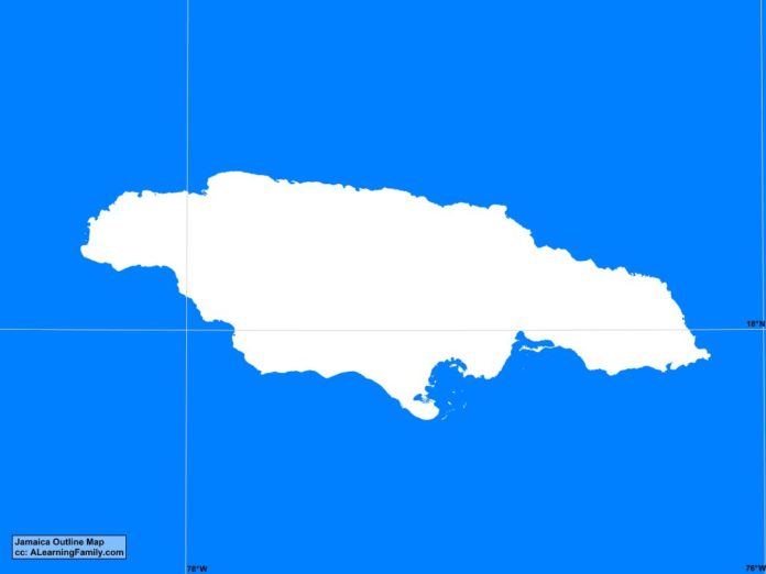
The Jamaica outline map is provided. The outline map includes a list of major cities, major landforms and bodies of water of Jamaica.
A student may use the blank map to practice locating these political and physical features.
Features of the Jamaica Outline Map
Major Cities
- Kingston (capital)
- Anotto Bay
- Brownstown
- Bull Savanna
- Fairmouth
- Lucea
- Mandeville
- May Pen
- Montego Bay
- Morant Bay
- Ocho Rios
- Port Antonio
- Port Maria
- Portmore
- Saint Ann’s Bay
- Savanna la Mar
- Spanish Town
Bodies of Water
- Bluefields Bay
- Caribbean Sea
- Jamaica Channel
- Kingston Harbor
- Long Bay
Major Landforms
- Blue Mountains
- Blue Mountain Peak
- Don Figuerero Mountains
- Dry Harbor Mountains
- John Crow Mountains
- Mocho Mountains
- Negril Hills
Bibliography
- Jamaica Political Map
- Jamaica Physical Map
- Government of Jamaica

