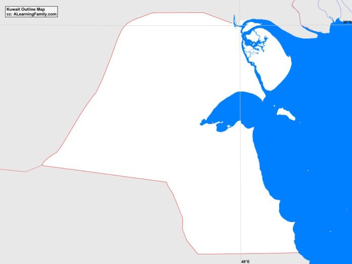
The Kuwait outline map is provided. The outline map includes a list of neighboring countries, major cities, major landforms and bodies of water of Kuwait.
A student may use the blank map to practice locating these political and physical features.
Features of the Kuwait Outline Map
Neighboring Countries
- Iraq
- Saudi Arabia
Major Cities
- Kuwait City (capital)
- ad-Dawhah
- al-Ahmadi
- al-Ardiyah
- al-Farwaniyah
- al-Fintas
- al-Fuhayhil
- al-Jahra
- al-Qasr
- al-Qurayn
- al-Wafrah
- at-Riqqah
- as-Salimiyah
- as-Sulaybiyah
- az-Zawr
- Hawaili
- Subbah-as-Salim
- Tayma
Bodies of Water
- Kuwait Bay
- Persian Gulf
Major Landforms
- Ad Dibdibwah Plain
- al Zawr Escarpment
- Bubiyan Island
- Failakah Island
- Jal al Liyah Escarpment
- Mutla Ridge

