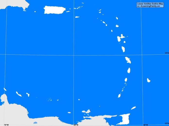
The Lesser Antilles outline map is provided. The outline map includes a list of neighboring countries, capital cities, major landforms and bodies of water of the Lesser Antilles.
A student may use the blank map to practice locating these political and physical features.
Features of the Lesser Antilles Outline Map
Neighboring Countries
- British Virgin Islands (UK)
- Puerto Rico (USA)
- Virgin Islands (USA)
Countries and Capital Cities
- Antigua and Barbuda – Saint John’s
- Barbados – Bridgetown
- Dominica – Roseau
- Grenada – Saint George’s
- Saint Kitts and Nevis – Basseterre
- Saint Lucia – Castries
- Saint Vincent and Grenadines – Kingstown
- Trinidad and Tobago – Port of Spain
Territories and Capital Cities
- Aruba (NETH) – Oranjestad
- Bonaire (NETH) – Kralendijk
- Curacao (NETH) – Willemstad
- Federal Dependencies of Venezuela (VEN) – Gran Roque
- Guadeloupe (FR) – Point-a-Pitre
- Martinique (FR) – Fort-de-France
- Montserrat (UK) – Plymouth
- Nueva Esparata (VEN) – La Asuncion
- Phillipsburg Sint Maarten (NETH) – Marigot
- Saint Barthelemy (FR) – Gustavia
- Saba (NETH) – The Bottom
- Sint Eustasius (NETH) – Oranjestad
- The Valley Anguilla (UK) – Saint-Martin
Bodies of Water
- Atlantic Ocean
- Caribbean Sea
Major Landforms
- Caribbean Plate
- Greater Antilles
- Leeward Antilles
- Leeward Islands
- Lesser Antilles
- South American Plate
- Windward Islands

