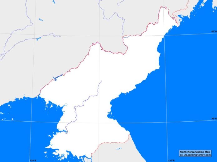
The North Korea outline map is provided. The outline map includes a list of neighboring countries, major cities, major landforms and bodies of water of North Korea.
A student may use the blank map to practice locating these political and physical features.
Features of the North Korea Outline Map
Neighboring Countries
- China
- Russia
- South Korea
Major Cities
- Pyongyang (capital)
- Anju
- Chaeryong
- Chongjin
- Chongpyong
- Haeju
- Hamhung
- Hongwon
- Huichon
- Hungnam
- Hyesan
- Kaesong
- Kanggye
- Kilchu
- Kimchaek
- Nampo
- Ongjin
- Pukchong
- Pyongsong
- Sariwon
- Sinchang
- Sinuiju
- Tanchon
- Uiju
- Wonsan
Bodies of Water
- Korea Bay
- Sea of Japan
- Tongjoson Bay
Major Landforms
- Amnok River
- Changbai Range
- Hamgyung Mountains
- Imjin River
- Kaema Highlands
- Kangnam Range
- Mount Baekdu
- Pujonryong Mountains
- Taebeck Mountains
- Taedong River
Bibliography
- North Korea Political Map
- North Korea Physical Map
- North Korea

