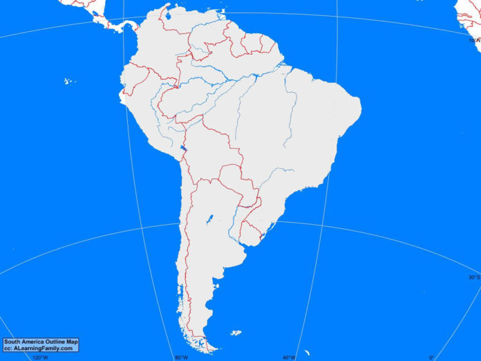
The South America outline map is provided. The outline map includes a list of neighboring countries, capital cities, major landforms and bodies of water of South America.
A student may use the blank map to practice locating these political and physical features.
Features of the South America Outline Map
Neighboring Countries
- Panama
Countries and Capital Cities
- Argentina (Buenos Aires)
- Bolivia (La Paz)
- Brazil (Brasilia)
- Chile (Santiago)
- Colombia (Bogota)
- Ecuador (Quito)
- Falkland Islands (Port Stanley)
- French Guiana (Cayenne)
- Guyana (Georgetown)
- Paraguay (Asuncion)
- Peru (Lima)
- Suriname (Paramaribo)
- Uruguay (Montevideo)
- Venezuela (Caracas)
Bodies of Water
- Atlantic Ocean
- Pacific Ocean
Major Landforms
- Amazon Basin
- Amazon River
- Andes Mountains
- Atacama Desert
- Brazilian Highlands
- Carnegie Ridge
- Chile Trench
- Cocos Ridge
- Colorado River
- Gran Chaco
- Guyana Highlands
- Llanos
- Mato Grosso Plateau
- Mid Atlantic Ridge
- Nazca Ridge
- Orinoco River
- Pampas
- Patagonia
- Peru Trench
- Rio de la Plata
- Scotia Ridge

