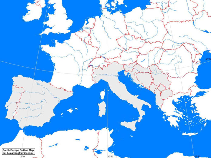
The South Europe outline map is provided. The outline map includes a list of neighboring countries, capital cities, major landforms and bodies of water of South Europe.
A student may use the blank map to practice locating these political and physical features.
Features of the South Europe Outline Map
Neighboring Countries
- Algeria
- Austria
- Bulgaria
- France
- Hungary
- Morocco
- Romania
- Switzerland
- Tunisia
- Turkey
Countries and Capital Cities
- Albania (Tirana)
- Bosnia and Herzegovina (Sarajevo)
- Croatia (Zagreb)
- Greece (Athens)
- Italy (Rome)
- Macedonia (Skopje)
- Portugal (Lisbon)
- Serbia (Podgorica)
- Slovenia (Ljubljana)
- Spain (Madrid)
Bodies of Water
- Adriatic Sea
- Aegean Sea
- Bay of Biscay
- Ionic Sea
- Mediterranean Sea
- Strait of Gibraltar
- Tyrrhenean Sea
Major Landforms
- Alps Mountains
- Appennines Mountains
- Balearic Islands
- Balkans Mountains
- Cantabrian Mountains
- Corsica
- Crete
- Ebro River
- Guadalquivir River
- Pindhos Mountains
- Po River
- Pyrennes Mountains
- Sardinia
- Sava River
- Sicily
- Spanish Plateau
- Tagus River

