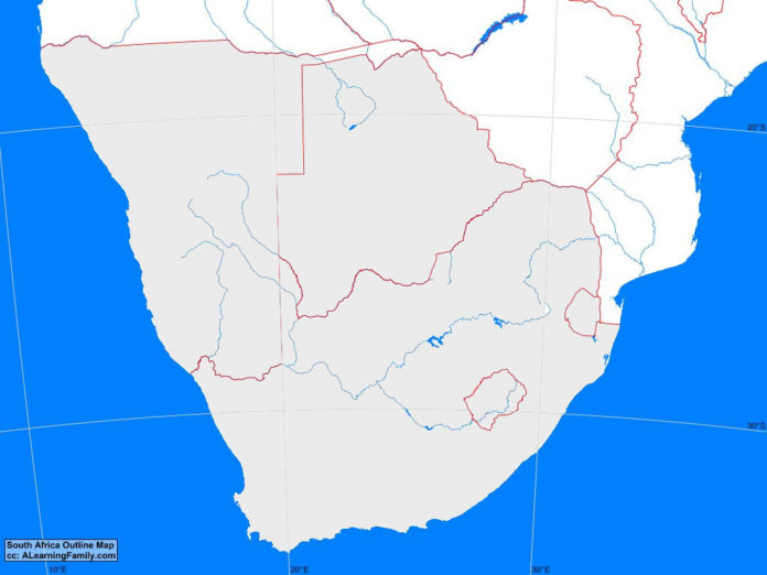
The Southern Africa outline map is provided. The outline map includes a list of neighboring countries, major cities, major landforms and bodies of water of Southern Africa.
A student may use the blank map to practice locating these political and physical features.
Features of the Southern Africa Outline Map
Neighboring Countries
- Angola
- Mozambique
- Zambia
- Zimbabwe
Countries and Capitals
- Botswana (Gaberone)
- Lesotho (Maseru)
- Namibia (Windhoek)
- South Africa (Pretoria)
- Swaziland (Mbabane)
Bodies of Water
- Atlantic Ocean
- Indian Ocean
Major Landforms
- Chola Mountains
- Drakensberg
- Great Escarpment
- High Veld
- Kalahari Desert
- Low Veld
- Mababe Depression
- Middle Veld
- Namib Desert
- Orange River
- Zambezi River

