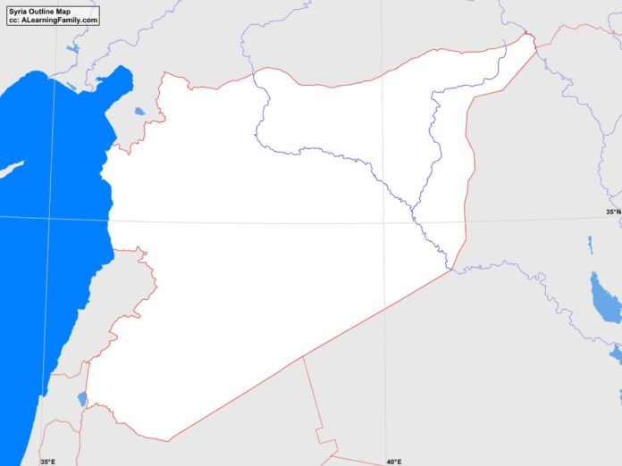
The Syria outline map is provided. The outline map includes a list of neighboring countries, major cities, major landforms and bodies of water of Syria.
A student may use the blank map to practice locating these political and physical features.
Features of the Syria Outline Map
Neighboring Countries
- Iraq
- Israel
- Jordan
- Lebanon
- Turkey
Major Cities
- Damascus (capital)
- Abu Kamal
- al-Hasakah
- al-Ladiqiyah
- al-Mayadin
- al-Qamisli
- al-Tawrah
- at-Raqqah
- as-Suwayda
- Aleppo
- Ariha
- Dar’a
- Dayr az-Zawr
- Hamah
- Hims
- Idlib
- Jablah
- Manbij
- Nawa
- Salamiyah
- Tartus
Bodies of Water
- Mediterranean Sea
Major Landforms
- Abu-Rujmayn Mountains
- Al-Druze Mountains
- Al Jazirah Plain
- At-Ruwaq Mountains
- Anti-Lebanon Mountains
- Bishri Mountains
- Coastal Plain
- Euphrates River
- Golan Heights
- Hawran Plateau
- Homs Desert
- Homs Gap
- Mount Hermon
- Nusayriyah Mountains
- Orontes River
- Syrian Desert

