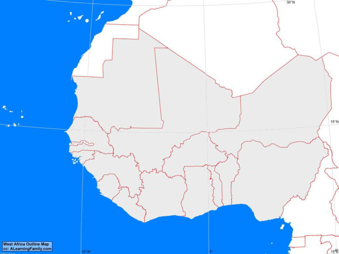
The West Africa outline map is provided. The outline map includes a list of neighboring countries, major cities, major landforms and bodies of water of West Africa.
A student may use the blank map to practice locating these political and physical features.
Features of the West Africa Outline Map
Neighboring Countries
- Algeria
- Cameroon
- Chad
- Libya
- Western Sahara
Countries and Capitals
- Benin (Porto Novo)
- Burkina Faso (Ouagadougou)
- Cape Verde (Praia)
- Cote d’Ívoire (Yamoussoukro)
- Ghana (Accra)
- Guinea (Conakry)
- Guinea-Bissau (Bissau)
- Liberia (Monrovia)
- Mali (Bamako)
- Mauritania (Nouakchott)
- Niger (Niamey)
- Nigeria (Abuja)
- Senegal (Dakar)
- Sierra Leone (Freetown)
- The Gambia (Banjui)
- Togo (Lome)
Bodies of Water
- Atlantic Ocean
- Gulf of Guinea
Major Landforms
- Benue River
- Chad Basin
- Djouf Basin
- Fouta Djallon Highlands
- Jos Plateau
- Niger Basin
- Niger River
- Sahara Desert
- Sahel
- Senegal River
- Volta River

