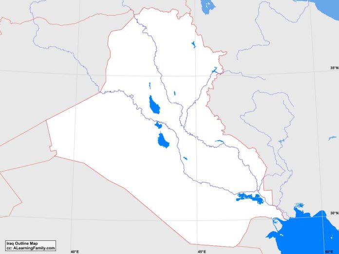
The Iraq outline map is provided. The outline map includes a list of neighboring countries, major cities, major landforms and bodies of water of Iraq.
A student may use the blank map to practice locating these political and physical features.
Features of the Iraq Outline Map
Neighboring Countries
- Iran
- Jordan
- Kuwait
- Saudi Arabia
- Syria
- Turkey
Major Cities
- Baghdad(capital)
- Abu al-Hasib
- ad-Diwaniyah
- al-Amarah
- al-Aziziyah
- al-Basrah
- al-Faw
- al-Fallujah
- al-Haritah
- al-Hayy
- al-Hillah
- al-Kut
- al-Mawsil
- al-Miqdadiyah
- an-Najaf
- an-Nasiriyah
- ar-Ramadi
- as-Samawah
- as-Satrah
- as-Sayhan
- as-Sulaymaniyah
- Ba’qubah
- Dahuk
- Halubcah
- Irbil
- Jalula
- Karbala
- Kirkuk
- Kusanjaq
- Samarra
- Tali ‘Afar
- Tuz Khurmatu
- Zahu
Bodies of Water
- Persian Gulf
Major Landforms
- Alluvial Plains
- Arabian Desert
- Cheekah Dar
- Euphrates River
- Lake Razazah
- Lake Tharthar
- Mesopotamian Marshes
- Mesopotamian Uplands
- Shatt al-Arab
- Syrian Desert
- Tigris River
- Zagros Mountains

