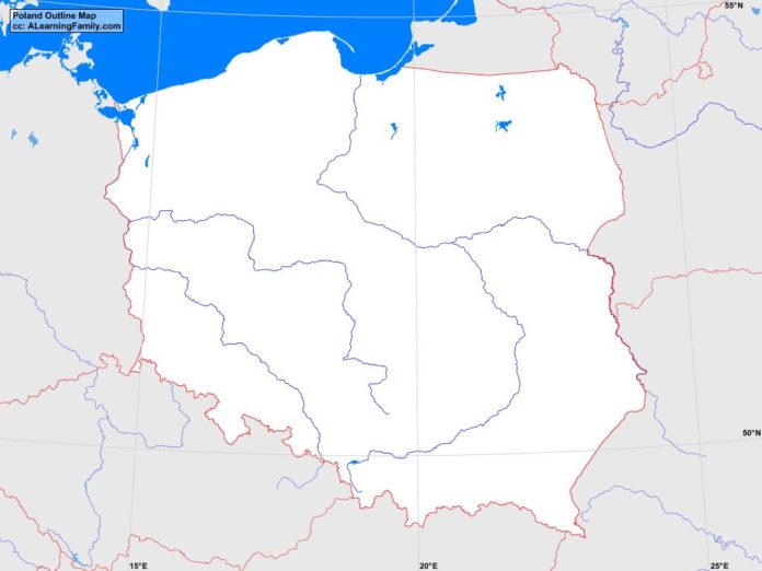
The Poland outline map is provided. The outline map includes a list of neighboring countries, major cities, major landforms and bodies of water of Poland.
A student may use the blank map to practice locating these political and physical features. Click on the map for a full-sized image of the map.
Features of the Poland Outline Map
Neighboring Countries
- Belarus
- Czech Republic
- Germany
- Lithuania
- Russia
- Slovakia
- Ukraine
Major Cities
- Warsaw (capital)
- Augustow
- Bartoszyce
- Belchatow
- Biala Podiaska
- Bialystok
- Bielsko-Biala
- Bydgoszcz
- Cracow
- Czestochowa
- Elblag
- Elk
- Gdansk
- Gdynia
- Glogow
- Gniezno
- Gorzow Wielkopolski
- Grudziadz
- Jelenia Gora
- Kalisz
- Katowice
- Kholm
- Kielce
- Konin
- Koszalin
- Legionowo
- Leszno
- Lodz
- Lublin
- Mielec
- Nowy Sacz
- Olsztyn
- Opole
- Ostroleka
- Pila
- Plock
- Poznan
- Radom
- Rzeszow
- Siedice
- Slupsk
- Starachowice
- Stargard Szczecinski
- Suwaiki
- Szczecin
- Tarnobrzeg
- Torun
- Walbrzych
- Wroclaw
- Wroclawek
- Zamosc
- Zawiercie
- Zielona Gora
- Zory
Bodies of Water
- Baltic Sea
- Gulf of Gdansk
- Pomeranian Bay
Major Landforms
- Bug River
- Carpathian Mountains
- Central Lowlands
- Masurian Lakeland
- Oder River
- Polish Uplands
- Pomeranian Lakeland
- Sandomierz Basin
- Snezka
- Sudetic Mountains
- Vistula River
- Warta River

