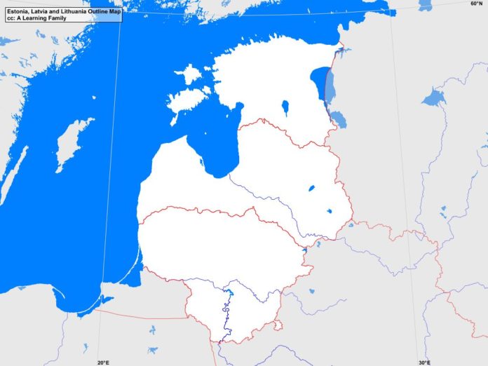
The Estonia, Latvia and Lithuania outline map is provided. The outline map includes a list of neighboring countries, major cities, major landforms and bodies of water of Estonia, Latvia, and Lithuania.
A student may use the blank map to practice locating these political and physical features.
Features of the Estonia, Latvia, and Lithuania Outline Map
Neighboring Countries
- Belarus
- Finland
- Poland
- Russia
- Sweden
Major Cities
- Tallinn (capital)
- Riga (capital)
- Vilnius (capital)
- Alystus
- Daugavpils
- Haapsalu
- Jekabspils
- Jelgava
- Johvi
- Jonava
- Jurmala
- Kaunas
- Kedainiai
- Klaipeda
- Kohtla-Jarve
- Kuressaare
- Liepaja
- Livani
- Ludza
- Marijampole
- Mazeikiai
- Narva
- Ogre
- Olaine
- Palanga
- Panevezys
- Parnu
- Radviliskis
- Rakvere
- Rezekne
- Siaulial
- Tartu
- Utena
- Valga
- Valmiera
- Ventaspils
- Visaginas
Bodies of Water
- Baltic Sea
- Gulf of Finland
- Gulf of Riga
Major Landforms
- Aukstojas Hill
- Baltic Highlands
- Central Vidzeme Upland
- Coastal Lowland
- Daugava River
- East Latvian Lowland
- Eastern Kurzene Upland
- Gaizinkalns
- Haanja Upland
- Hiiumaa
- Lake Peipus
- Middle Latvian Lowland
- Middle Lithuanian Lowland
- Nemunas River
- Otepaa Upland
- Pandivere Upland
- Saaremaa
- Suur Munamagi
- Western Kurzene Upland
- Zemaiciai Upland
- Zemgale Plain
Bibliography
- Estonia, Latvia and Lithuania Political Map
- Estonia, Latvia and Lithuania Physical Map
- Estonia

