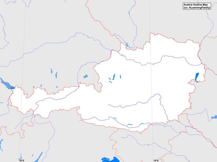
The Austria outline map is provided. The outline map includes a list of neighboring countries, major cities, major landforms and bodies of water of Austria.
A student may use the blank map to practice locating these political and physical features.
Features of the Austria Outline Map
Neighboring Countries
- Czech Republic
- Germany
- Hungary
- Italy
- Liechtenstein
- Slovakia
- Slovenia
- Switzerland
Major Cities
- Vienna (capital)
- Amstetten
- Ansfelden
- Bad Ischi
- Bad Voslau
- Bischofshofen
- Braunau
- Bregenz
- Dornbirn
- Eisenstadt
- Feldkirch
- Feldkirchen
- Gmunden
- Graz
- Hall
- Hallein
- Innsbruck
- Kapfenberg
- Klagenfurt
- Klosterneuburg
- Knittelfeld
- Krems
- Kufstein
- Leoben
- Linz
- Mistelbach
- Neunkirchen
- Ried
- Salzburg
- Sankt Andra
- Sankt Polten
- Steyr
- Villach
- Wiener Neustadt
- Wolfsberg
Major Landforms
- Austrian Alps
- Bavarian Alps
- Carnic Alps
- Danube River
- Danube Valley
- Drau River
- Grossglockner
- Hohe Tauern Range
- Inn River
- Lechtal Alps
- Little Hungarian Plain
- Mur River
- Niedere Tauern Range
- Otztal Alps
- Sulm Valley
- Vienna Woods

