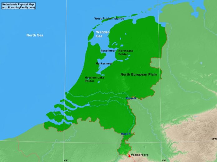
The Netherlands physical map is provided. The physical map includes a list of major landforms and bodies of water of Netherlands.
A student may use the blank Netherlands outline map to practice locating these physical features.
Features of the Netherlands Physical Map
Bodies of Water
- North Sea
- Wadden Sea
Major Landforms
- Haarlem Lake Polder
- Ijsselmeer
- Maas River
- Markermeer
- North European Plain
- Northeast Polder
- Rhine River
- Vaalserberg
- West Frisian Islands

