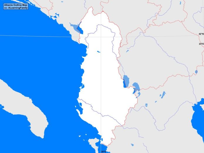
The Albania outline map is provided. The outline map includes a list of neighboring countries, major cities, major landforms and bodies of water of Albania.
A student may use the blank map to practice locating these political and physical features.
Click the map for a full-sized image of the country.
Features of the Albania Outline Map
Neighboring Countries
- Greece
- Italy
- Macedonia
- Montenegro
- Serbia
Major Cities
- Tirana (capital)
- Balish
- Berat
- Bulqize
- Burrel
- Cerrik
- Corovode
- Durres
- Elbasan
- Fier
- Fushe-Kruje
- Gjirokaster
- Gramsh
- Kamze
- Kavaje
- Korce
- Kucove
- Kukes
- Lac
- Lezhe
- Lushnje
- Permet
- Peshkopi
- Pogradec
- Polican
- Rreshen
- Sarande
- Shkoder
- Tepelene
- Vlore
Bodies of Water
- Adriatic Sea
- Drin Bay
- Durres Bay
- Ionian Sea
- Saranda Bay
- Strait of Otranto
- Vlora Bay
Major Landforms
- Central Uplands
- Coastal Lowlands
- Drin River
- Drinizi River
- Gribe Mountains
- Korab Mountains
- Lake Ohrid
- Lake Prespa
- Lake Shkodra
- Martanesh Mountains
- Mount Korab
- Nemerke Mountains
- North Albanian Alps
- Pindus Mountains

