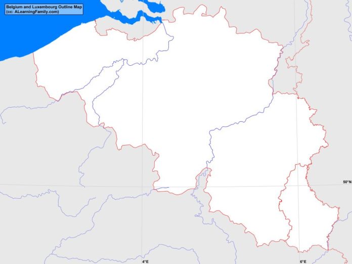
The Belgium and Luxembourg outline map is provided. The outline map includes a list of neighboring countries, major cities, major landforms and bodies of water of Belgium and Luxembourg.
A student may use the blank map to practice locating these political and physical features.
Features of the Belgium and Luxembourg Outline Map
Neighboring Countries
- France
- Germany
- Netherlands
Major Cities
- Brussels (capital)
- Luxembourg (capital)
- Aaist
- Antwerp
- Aubange
- Bastogne
- Brugge
- Charierol
- Dudelange
- Durbuy
- Esch-Alzette
- Ettelbruck
- Genk
- Gent
- Hasselt
- Kortrijk
- La Louviere
- Leuven
- Liege
- Mechelen
- Mons
- Mouscron
- Namur
- Oostende
- Roeselare
- Seraing
- Sint-Niklaas
- Tournai
- Verviers
- Virton
Bodies of Water
- North Sea
Major Landforms
- Ardennes Mountains
- Caestert Plateau
- Coastal Plain
- Condroz
- Fagnes
- Flanders
- Gotland
- Kemmelberg
- Kneff
- Leie River
- Meuse River
- Oesling Plateau
- Plateau de Tailles
- Schelde River
- Signal de Botrange
- Wallonia
Bibliography
- Belgium and Luxembourg Political Map
- Belgium and Luxembourg Physical Map
- Belgium

