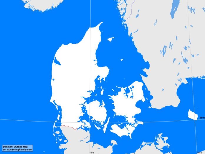
The Denmark outline map is provided. The outline map includes a list of neighboring countries, major cities, major landforms, and bodies of water of Denmark.
A student may use the blank map to practice locating these political and physical features.
Features of the Denmark Outline Map
Neighboring Countries
- Germany
- Norway
- Sweden
Major Cities
- Copenhagen (capital)
- Aabenraa
- Aalborg
- Arhus
- Birkered
- Brondersiev
- Esbjerg
- Frederiksvark
- Frederikshavn
- Frederikssund
- Greve Strand
- Grenaa
- Haderslev
- Haslev
- Herning
- Hillerod
- Hjerring
- Hobro
- Holstebro
- Horsens
- Koge
- Korsor
- Lemvig
- Nakskov
- Nastved
- Nykobing
- Odder
- Odense
- Randers
- Ronne
- Senderborg
- Silkeborg
- Skanderborg
- Skive
- Slagelse
- Svendborg
- Thisted
- Varde
- Vejle
- Viborg
Bodies of Water
- Arhus Bay
- Baltic Sea
- Fakse Bay
- Jammer Bay
- Kage Bay
- Kattegat Bay
- Kiel Bay
- North Sea
- Skaggerak Strait
Major Landforms
- Als
- Bornholm
- Falster
- Funen
- Gudena River
- Jutland Peninsula
- Langeland
- Lolland
- Mollehoj
- Mon
- Samso
- Skern River
- Stora River
- Varde River
- Zealand
Bibliography
- Denmark Political Map
- Denmark Physical Map
- Denmark

