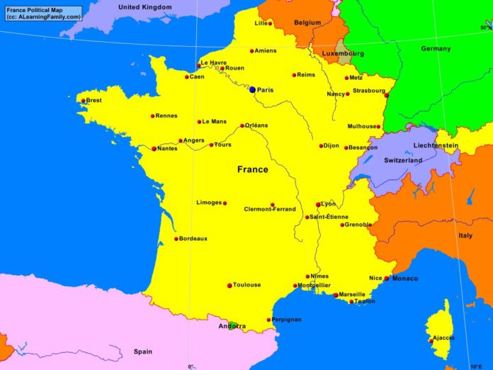
The France political map is provided. The political map includes a list of neighboring countries and major cities of France.
A student may use the blank France outline map to practice locating these political features.
Features of the France Political Map
Neighboring Countries
- Andorra
- Belgium
- Germany
- Italy
- Liechtenstein
- Luxembourg
- Monaco
- Spain
- Switzerland
- United Kingdom
Major Cities
- Paris (capital)
- Amiens
- Angers
- Besancon
- Bordeaux
- Brest
- Caen
- Clermont-Ferrand
- Dijon
- Grenoble
- Le Havre
- Le Mans
- Lille
- Limoges
- Lyon
- Marseilles
- Metz
- Montpellier
- Mulhouse
- Nancy
- Nantes
- Nice
- Nimes
- Orleans
- Perpignan
- Reims
- Rennes
- Rouen
- Saint-Etienne
- Strasbourg
- Toulon
- Toulouse
- Tours

