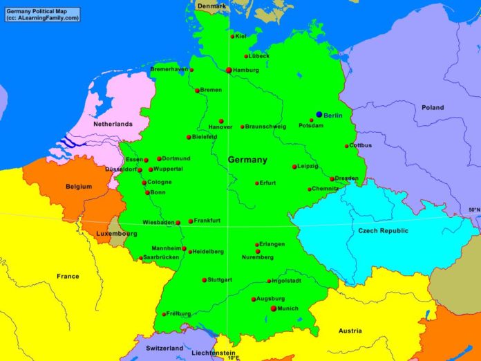
The Germany political map is provided. The political map includes a list of neighboring countries and major cities of Germany.
A student may use the blank Germany outline map to practice locating these political features.
Features of the Germany Political Map
Neighboring Countries
- Austria
- Belgium
- Czech Republic
- Denmark
- France
- Luxembourg
- Netherlands
- Poland
- Switzerland
Major Cities
- Berlin (capital)
- Augsburg
- Bielefeld
- Bonn
- Braunschweig
- Bremen
- Bremerhaven
- Chemnitz
- Cologne
- Cottbus
- Dortmund
- Dresden
- Dusseldorf
- Erfurt
- Erlangen
- Essen
- Frankfurt
- Freiburg
- Hamburg
- Hanover
- Heidelberg
- Ingolstadt
- Kiel
- Liepzig
- Lubeck
- Mannheim
- Munich
- Nuremberg
- Potsdam
- Saarbrucken
- Stuttgart
- Wiesbaden
- Wuppertal

