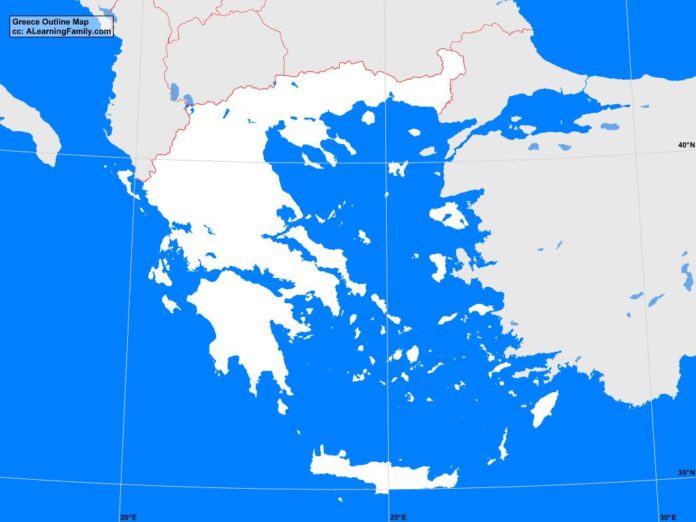
The Greece outline map is provided. The outline map includes a list of neighboring countries, major cities, major landforms and bodies of water of Greece.
A student may use the blank map to practice locating these political and physical features.
Features of the Greece Outline Map
Neighboring Countries
- Albania
- Bulgaria
- Italy
- Macedonia
- Turkey
Major Cities
- Athens (capital)
- Agrinion
- Alexandroupoli
- Argos
- Drama
- Eleusis
- Glifada
- Ioannina
- Iraklion
- Kalamata
- Karditsa
- Kavala
- Kerkira
- Khalkis
- Khania
- Komotini
- Korinthos
- Kozani
- Lamia
- Larisa
- Mitilini
- Nea Ionia
- Patrai
- Ptolemais
- Rethimnon
- Rodos
- Serrai
- Thessaloniki
- Tripoli
- Veroia
- Yiannitsa
Bodies of Water
- Aegean Sea
- Ionian Sea
- Mediterranean Sea
- Otranto Strait
- Sea of Crete
Major Landforms
- Crete
- Cyclades Islands
- Dardanelles Strait
- Dodecanese Islands
- Dramas Plain
- Ionian Islands
- Mount Olympus
- Peloponnesian Peninsula
- Pindus Mountains
- Rhodope Mountains
- Sporades Islands
Bibliography
- Greece Political Map
- Greece Physical Map
- Greece

