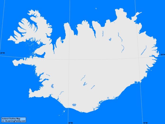
The Iceland outline map is provided. The outline map includes a list of neighboring countries, major cities, major landforms and bodies of water of Iceland.
A student may use the blank map to practice locating these political and physical features.
Features of the Iceland Outline Map
Major Cities
- Reykjavik (capital)
- Akranes
- Akureyri
- Blonduos
- Bolungarvik
- Borganes
- Daivik
- Egilsstadir
- Eyrarbakki
- Eskifjordur
- Gardur
- Grindavik
- Grundarhverfi
- Grundarfjodur
- Hafnarfjordur
- Hella
- Hofn
- Husavik
- Hvammstangi
- Hveragerdi
- Hvolsvollur
- Isafjordur
- Neskaupstaour
- Njarovik
- Olafsfjordur
- Olafsvik
- Patreksfjordur
- Saudarkrokur
- Selfoss
- Siglufjordur
- Skagastrond
- Stykkisholmur
- Vestmannayjar
- Vopnafjorour
Bodies of Water
- Arctic Ocean
- Atlantic Ocean
- Axar Fjord
- Breidha Fjord
- Denmark Strait
- Faxa Bay
- Huna Bay
- Norwegian Sea
- Thistil Fjord
Major Landforms
- Hofsjokull Glacier
- Hvannadalshnukur
- Icelandic Highlands
- Jokusa a Fjollum
- Langojokull Glacier
- Myralsjokull Glacier
- Thorsa
- Vatnajokull Glacier

