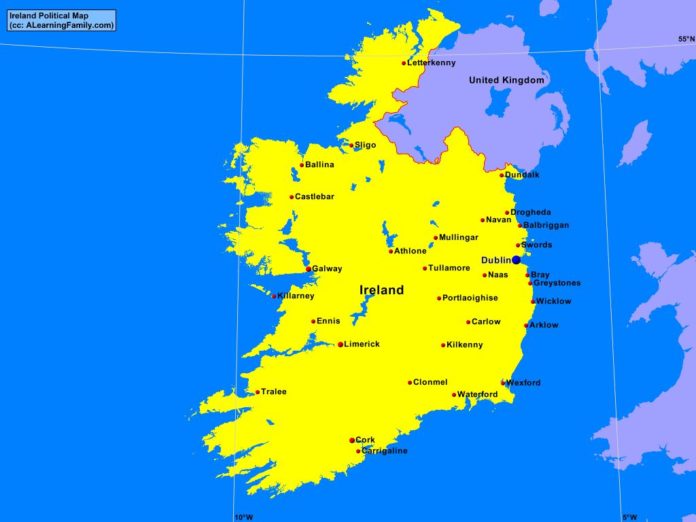
The Ireland political map is provided. The political map includes a list of neighboring countries and major cities of Ireland.
A student may use the blank Ireland outline map to practice locating these political features.
Features of the Ireland Political Map
Neighboring Countries
- United Kingdom
Major Cities
- Dublin (capital)
- Arklow
- Balbriggan
- Ballina
- Bray
- Carrigaline
- Carlow
- Castlebar
- Clonmel
- Cork
- Drogheda
- Dundalk
- Ennis
- Galway
- Greystones
- Kilkenny
- Killarney
- Letterkenny
- Limerick
- Mullingar
- Naas
- Navan
- Portlaoighise
- Sligo
- Swords
- Tralee
- Tullamore
- Waterford
- Wexford
- Wicklow

