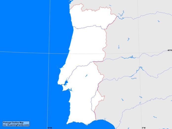
The Portugal outline map is provided. The outline map includes a list of neighboring countries, major cities, major landforms and bodies of water of Portugal.
A student may use the blank map to practice locating these political and physical features.
Click on the map for a full-sized image of the country.
Features of the Portugal Outline Map
Neighboring Countries
- Spain
Major Cities
- Lisbon (capital)
- Abrantes
- Aguaiva-Cacem
- Agueda
- Aveiro
- Beja
- Braga
- Braganca
- Caldas da Rainha
- Carregado
- Castelo Branco
- Coimbra
- Corroios
- Covilha
- Custoias
- Esmoriz
- Evora
- Faro
- Grandola
- Guarda
- Lagos
- Leiria
- Mirandela
- Porto
Bodies of Water
- Atlantic Ocean
- Gulf of Cadiz
Major Landforms
- Alentejo
- Algarve
- Cantabrian Mountains
- Douro River
- Northern Meseta
- Serra de Caldeirao
- Serra de Estrella
- Serra de Mogadouro
- Serra de Monchique
- Serra de Ossa
- Serra do Aire
- Sierra de Larouco
- Southern Meseta
- Tagus River
- Torre

