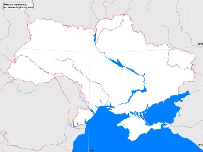
The Ukraine outline map is provided. The outline map includes a list of neighboring countries, major cities, major landforms and bodies of water of Ukraine.
A student may use the blank map to practice locating these political and physical features.
Features of the Ukraine Outline Map
Neighboring Countries
- Belarus
- Hungary
- Moldova
- Poland
- Romania
- Russia
- Slovakia
Major Cities
- Kiev (capital)
- Berdyansk
- Cherkasy
- Chernihiv
- Chernivtsi
- Chervonohrad
- Dnipropetrovsk
- Donetsk
- Dronobych
- Feodosiya
- Horlivka
- Ivano-Frankivsk
- Izmayil
- Izyum
- Kerch
- Kharkiv
- Kherson
- Kirovohrad
- Kolomyya
- Komsomolsk
- Konotop
- Korosten
- Kovel
- Kryvyy Rih
- Lozova
- Luhansk
- Luts’k
- L’viv
- Mariupol
- Melitopol
- Mukacheve
- Mykolayiv
- Nizhyn
- Novohrad-Volynskyy
- Odesa
- Poltava
- Pryluky
- Rivne
- Rubizhne
- Sevastopol
- Shostka
- Simferopol
- Sumy
- Uman
- Vinnytsya
- Yalta
- Yevpatoriya
- Zaporizhzhya
- Zhytomyr
Bodies of Water
- Black Sea
- Gulf of Taganrog
- Sea of Azov
Major Landforms
- Azov Plateau
- Black Sea Lowlands
- Carpathian Mountains
- Central Russian Uplands
- Crimean Mountains
- Crimean Peninsula
- Danube River
- Dneiper Lowlands
- Dneiper Uplands
- Dneiper River
- Dniester River
- Donet Hills
- Donets River
- Hoveria
- Podolian Upland
- Polesian Lowland
- Southern Buh River

